Boston North Shore Study

Regional Saugus River Floodgate Project - Everett, Lynn, Malden, Revere and Saugus, Massachusetts

RSS
Back
Floodgates Tie into Point of Pines on the Left Bank
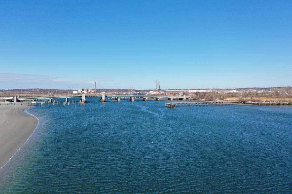
Floodgates Tie into Point...
Point Of Pines Yacht Club At Mouth of Saugus River
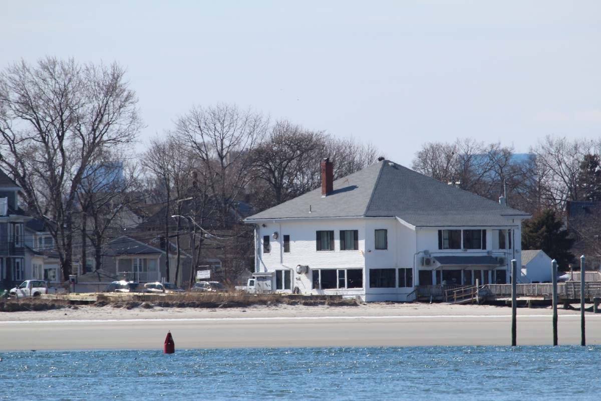
Point Of Pines Yacht Club...
Floodgate Wall Ties in Left of Pumping Station
Floodgate Wall Ties in Le...
Point of Pines Wall Along Saugus River
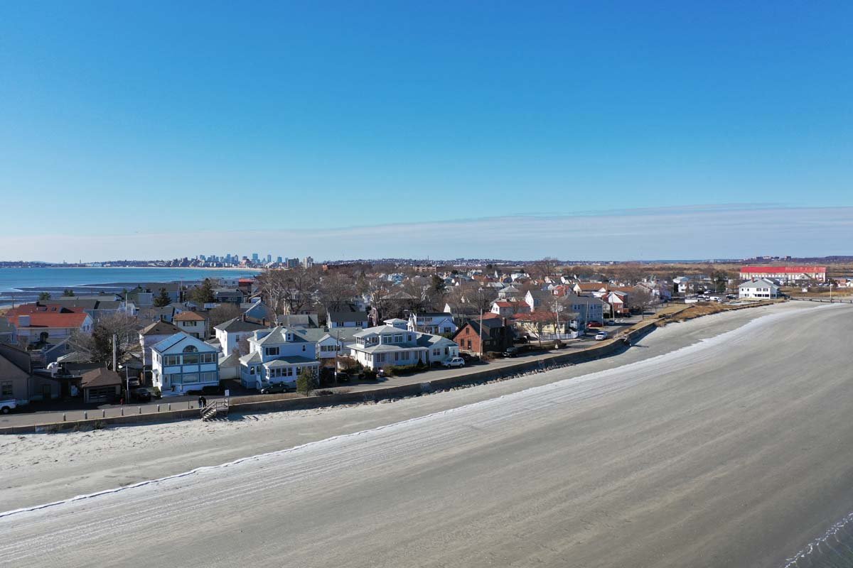
Point of Pines Wall Along...
Existing 940 Ft.of Block Wall Needs a New "T" Wall
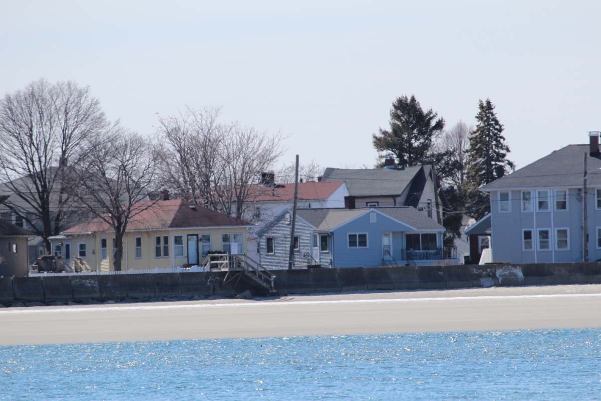
Existing 940 Ft.of Block ...
The Point looking toward Saugus River & Lynn
The Point looking toward ...
1,600 Ft. of Dunes Narrow to the South
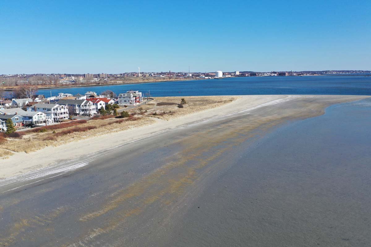
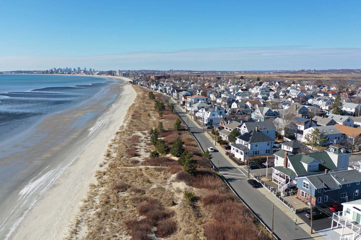
1,600 Ft. of Dunes Narrow...
200 Ft. of Wall at Dunes to Be Raised 1.7 Ft.
200 Ft. of Wall at Dunes ...
1,600 Ft of Dunes May Need Heavier Grained Sand, Dune Grass & Shrubs
1,600 Ft of Dunes May Nee...
Dunes Narrow Heading South
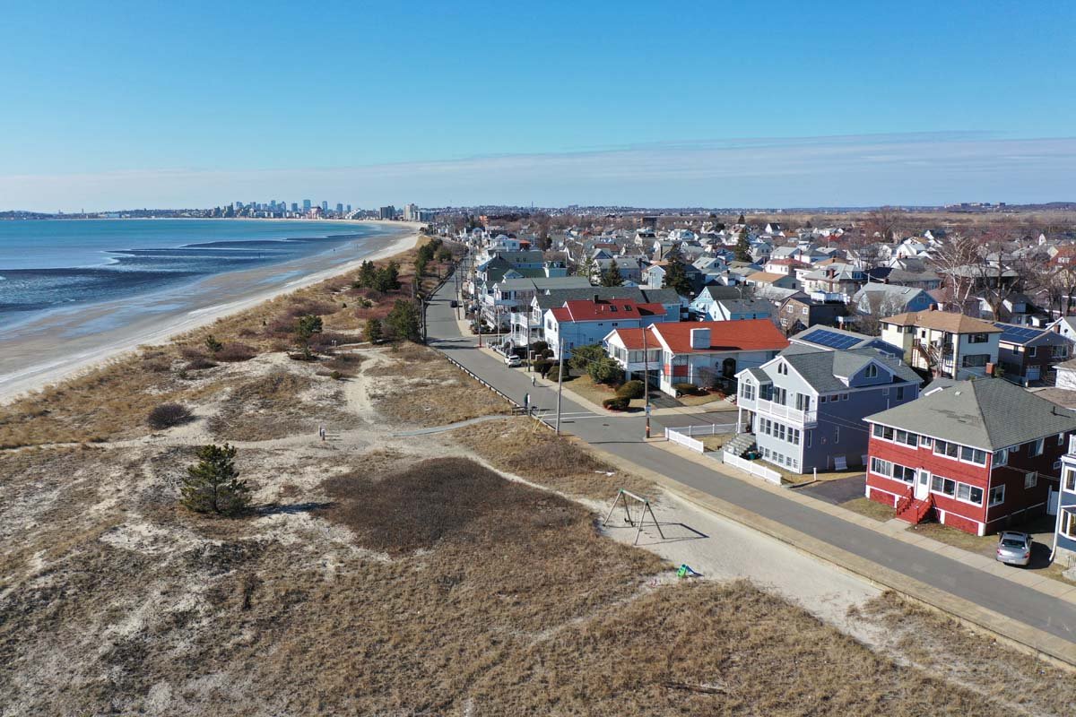
Dunes Narrow Heading Sout...
Walls & Narrow Dunes May be Restored  with Sand Dunes in lieu of Revetments
Walls & Narrow Dunes May ...
Model showed this 1,550 Ft.of Wall & Stone can  Be Severely Overtopped
Model showed this 1,550 F...
Modelling Showed Sand Dunes Much More Effective than  Revetment
Modelling Showed Sand Dun...
At Carey Circle Dunes to El. 18  Would Stop Overtopping
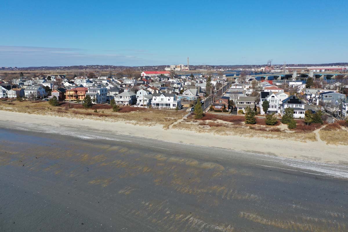
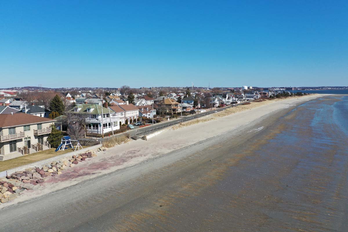
At Carey Circle Dunes to ...
 
 
Powered by Phoca Gallery

Show Your Support

Please contact your community representatives with letters and emails of support or concerns.

Directory of Local Reps


Definitions & Abbreviations