Boston North Shore Study

Regional Saugus River Floodgate Project - Everett, Lynn, Malden, Revere and Saugus, Massachusetts

RSS
Back
Revere Beach Reservation Ends At Carey Circle
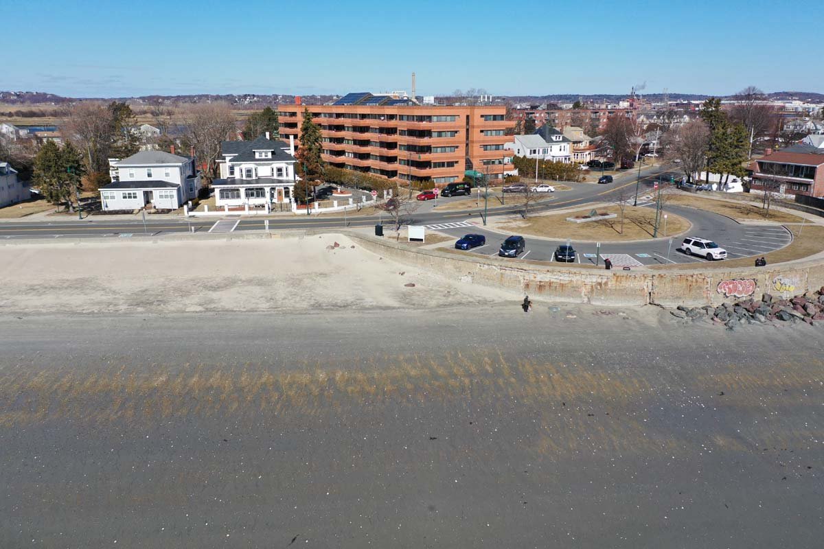
Revere Beach Reservation ...
Ponding Area Ends Behind Homes
Ponding Area Ends Behind ...
The Ponding Area runs 3,400 ft. Ending At Carey Circle
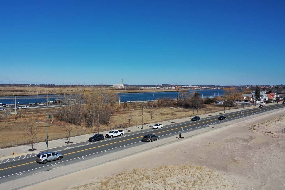
The Ponding Area runs 3,4...
Overtopping Water Would be Stored in a 20 Acre Ponding Area
Overtopping Water Would b...
Right of Seaview Towers a 500Ft. Wall 3-4Ft. High Would Direct Overtopping Water
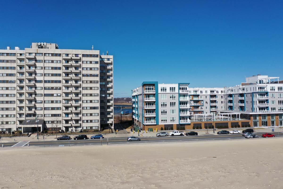
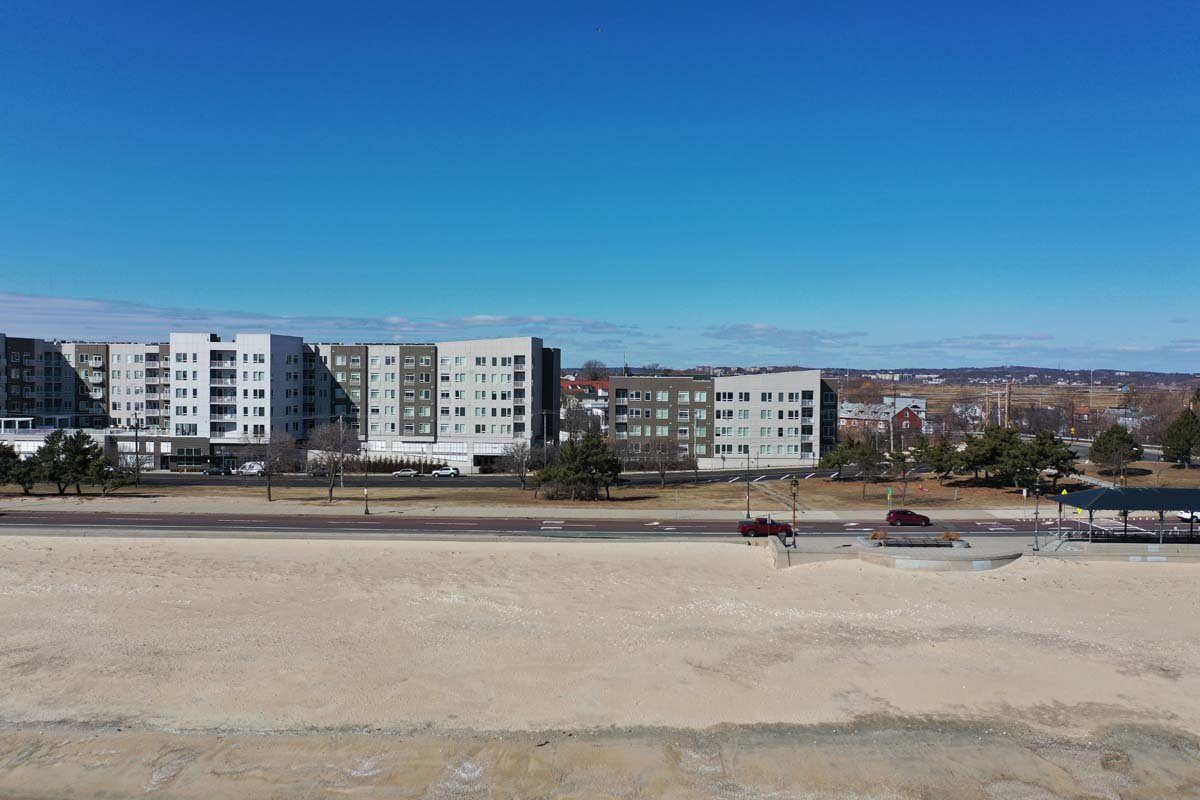
Right of Seaview Towers a...
The Restored Beach provides a Width of 185 Ft. at High Tide
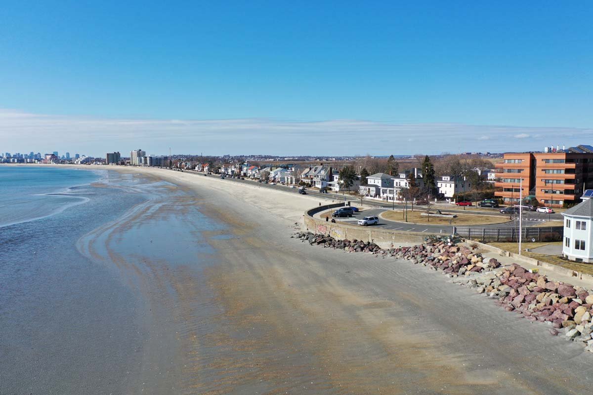
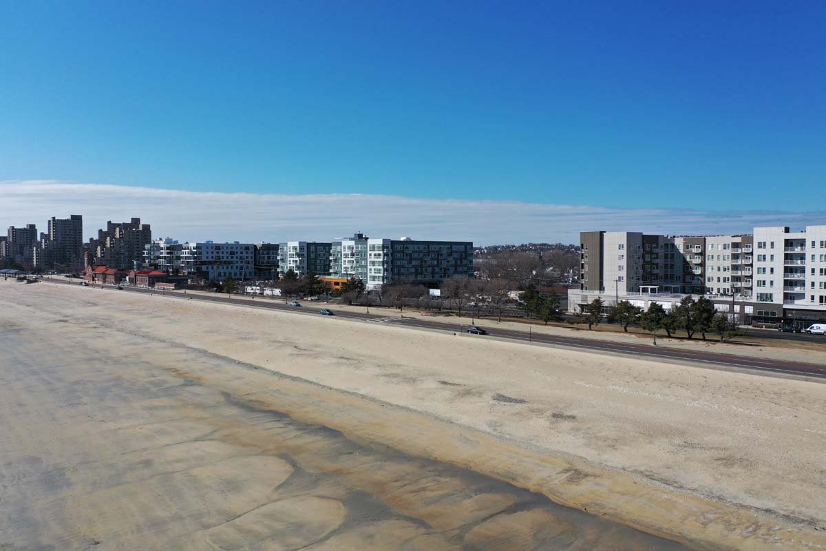
The Restored Beach provid...
13,000 Ft of Beach Was Restored  w/ 600,000 CY of Sand from the Abandoned I-95  Embankment
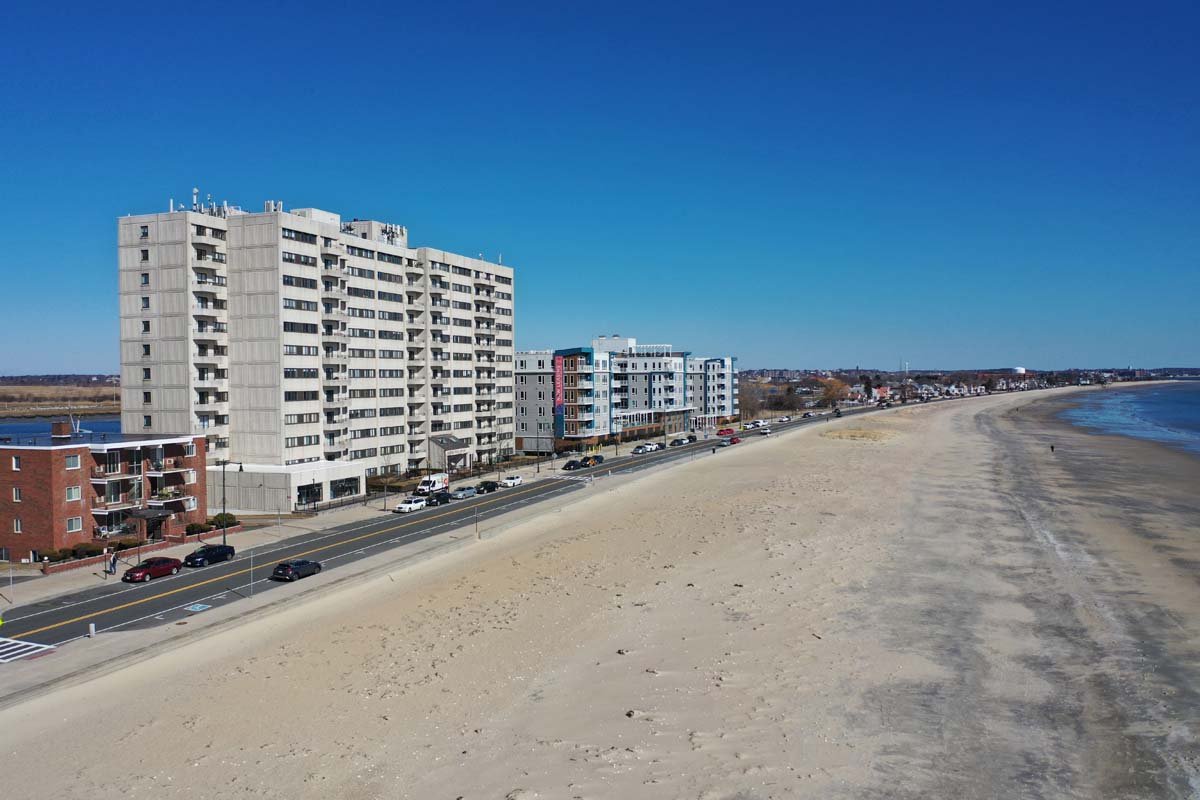
13,000 Ft of Beach Was Re...
Kelley's Meadow Floodplain
Kelley's Meadow Floodplai...
Revere Beach Was Restored By The Corps From Sep. '90 - Jul '91 @ $9.4M
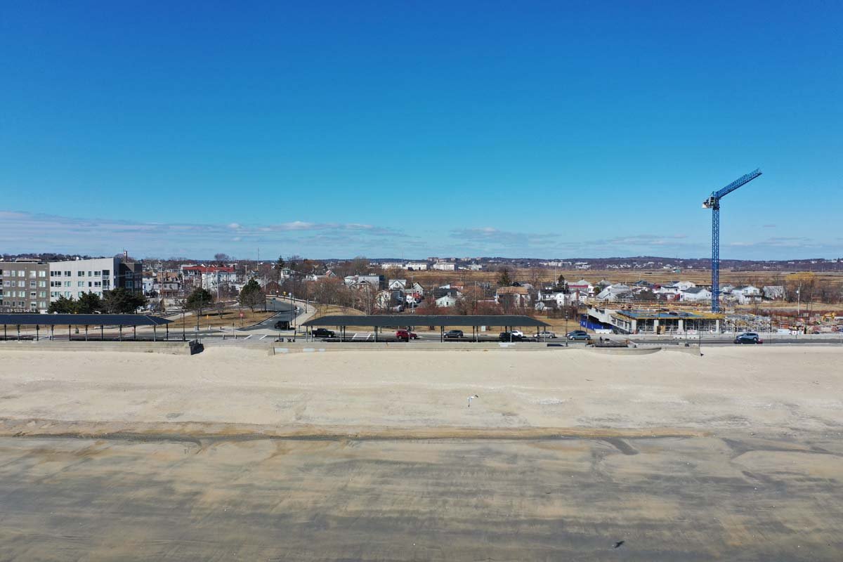
Revere Beach Was Restored...
Development Continues in Area Where  Less Wave Overtopping
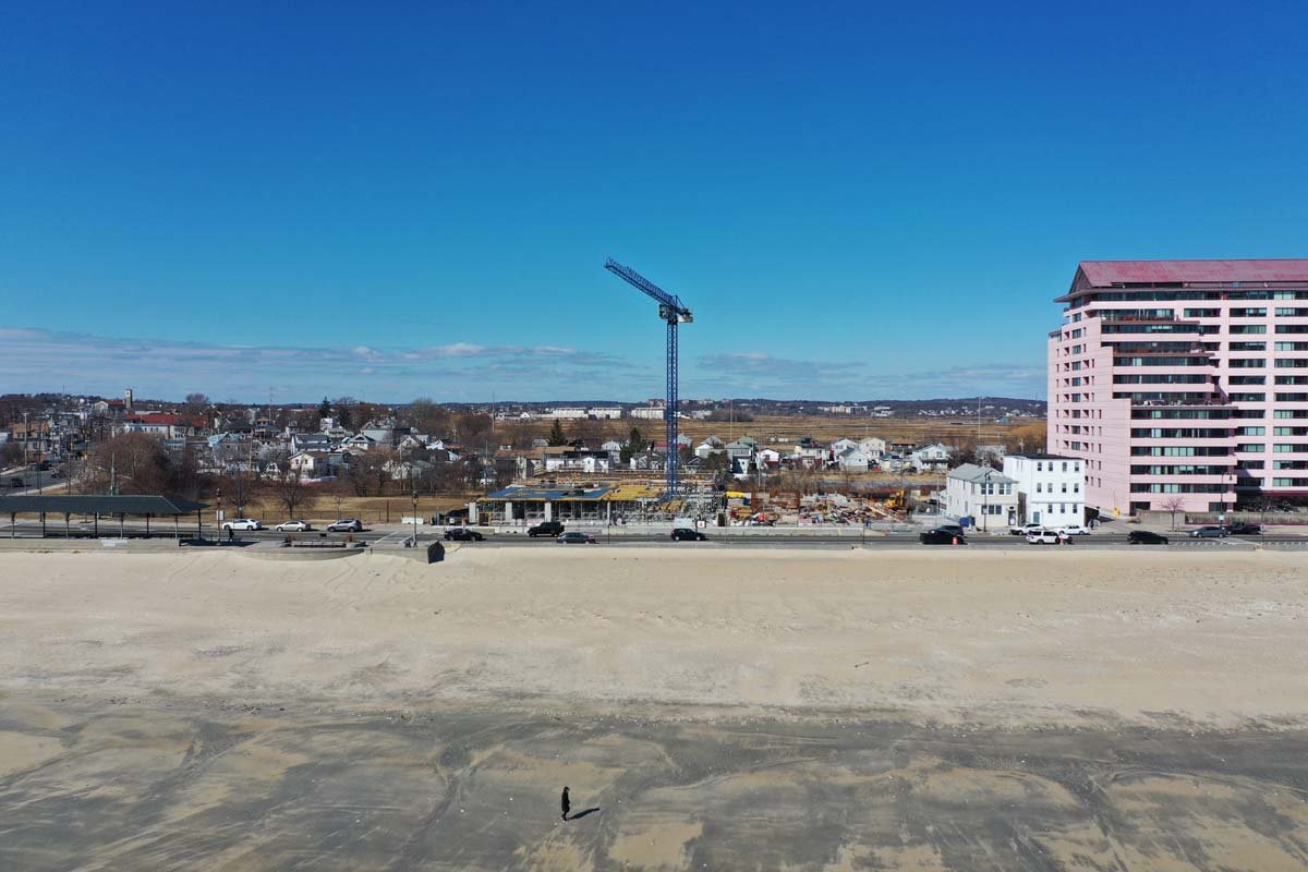
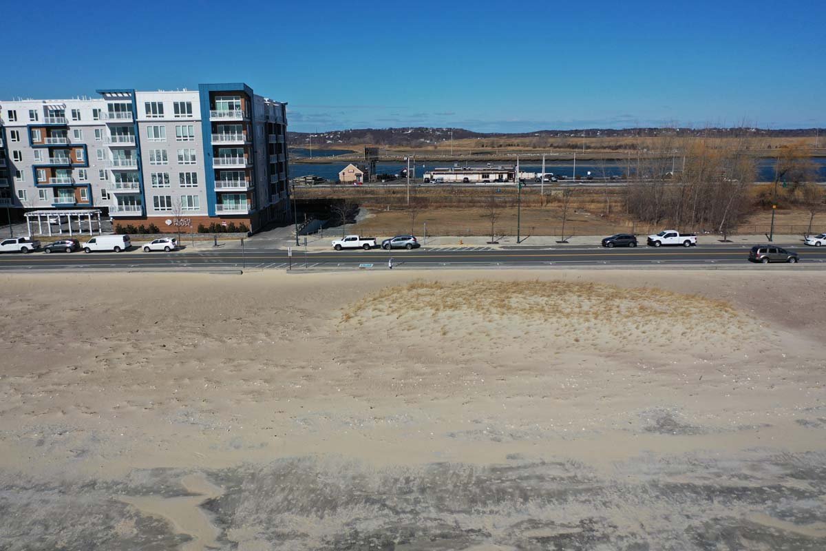
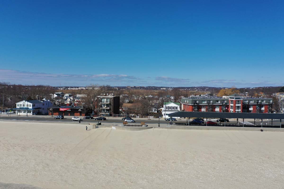
Development Continues in ...
Proposed Parkland Built 3- 5 Ft. Higher than Beach Wall, Ends At Revere Street
Proposed Parkland Built 3...
Parkland Would Stop Overtopping From Reaching Developed Areas
Parkland Would Stop Overt...
Parkland would Be Built Between Streets Facing the Ocean
Parkland would Be Built B...
Historic MDC Police Station is Center of Proposed 3,420 Ft. Parkland Dike
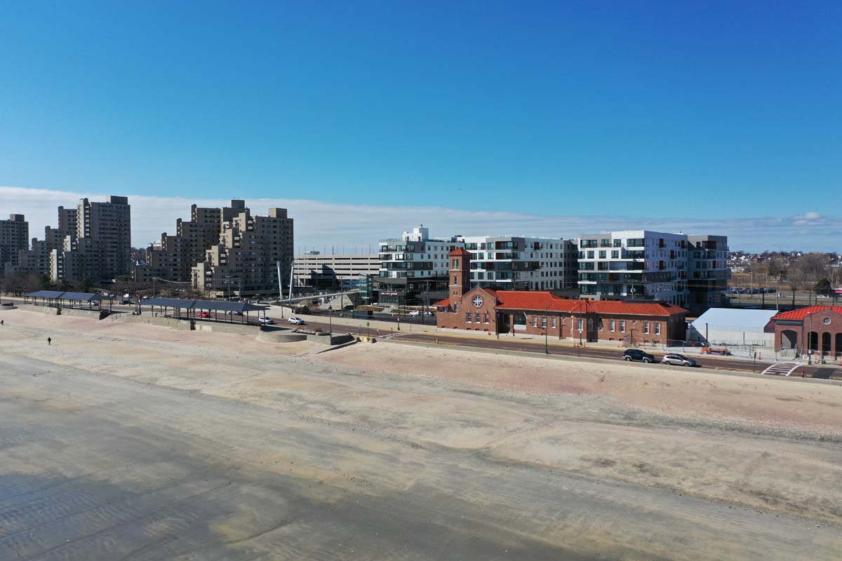
Historic MDC Police Stati...
Waste Disposal Plant on Pines River Viewed from Riverside Revere
Waste Disposal Plant on P...
Pines River, Flooding's An Issue
Pines River, Flooding's A...
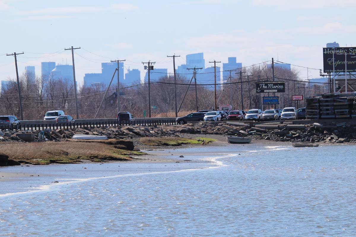
Marina On Pines River
Marina Docks Stored for Winter, Pines River
Marina Docks Stored for W...
GE Jet Engine Plant Viewed from Riverside Revere
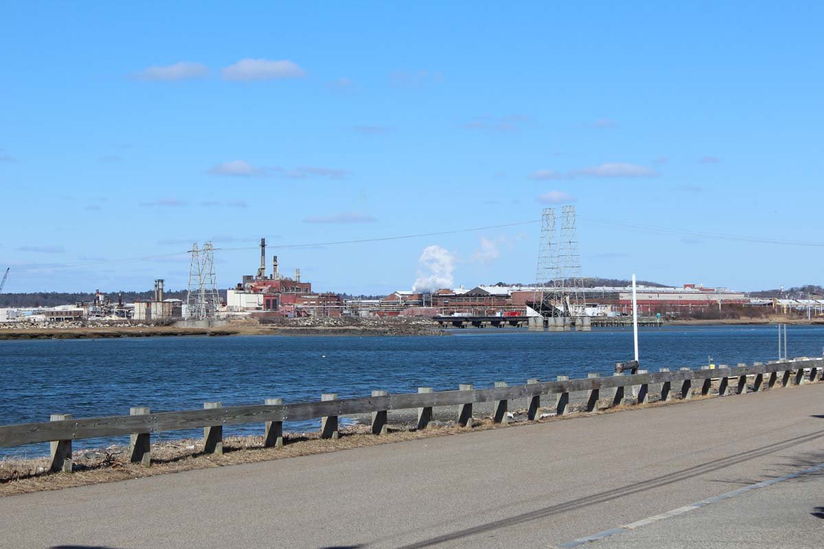
GE Jet Engine Plant Viewe...
 
 
Powered by Phoca Gallery

Show Your Support

Please contact your community representatives with letters and emails of support or concerns.

Directory of Local Reps


Definitions & Abbreviations